AI Layer Reconstruction
Convert degraded PDFs and CAD exports into usable, layered map data automatically. No manual redrawing.
Streetscape Maps converts engineering drawings into marketing assets, investor presentations, and BI outputs in minutes. One source map. Purpose-built outputs. Data overlays on demand.
Try It FreeEngineers export CAD to PDF, destroying layer intelligence. Streetscape Maps automates reconstruction and produces filtered, audience-specific outputs in minutes.
Meet Maps
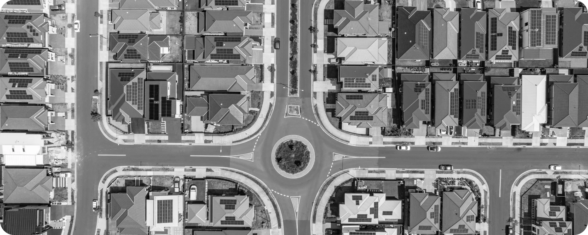
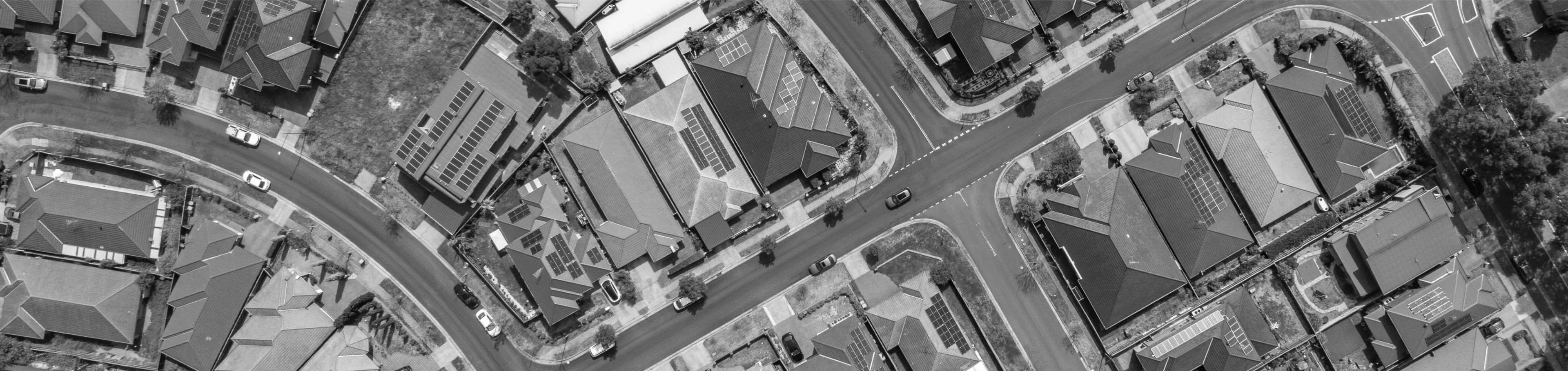
Streetscape Maps reads degraded CAD exports, reconstructs the layer intelligence engineers built in, and produces filtered, purpose-specific maps for every audience.
Capabilities
Convert degraded PDFs and CAD exports into usable, layered map data automatically. No manual redrawing.
Connect lot inventory, sales data, and custom attributes to your map in real time via Connectors.
Marketing maps, investor presentations, executive briefings — all from one source. Filtered and formatted for each audience.
2D static images, 3D context views, animated video, print-ready assets. All formats from one upload.
Update your source map; all dependent outputs regenerate instantly. No manual re-work required.
Maps reads from Communities, LotWorks, CRM systems, or any connected data source via API.
How It Works
Upload, filter for your audience, and generate any format your team needs.
Provide the engineering drawing: CAD file, PDF export, or scanned plan. Maps accepts degraded, layered, or mixed-quality inputs. The AI doesn't require perfect source data.
Choose what information appears on the output: available lots, sold lots, pricing, phases, amenities, sales progress. Choose the audience: marketing, investor, internal stakeholder. Maps filters and formats automatically.
The AI produces the audience-specific map in your chosen format: 2D image for marketing, 3D context view, animated video for web, or print-ready asset. Download immediately. Revise the data overlay and regenerate anytime.
Streetscape Maps works within Streetscape's unified platform. One login. One workspace. All your community data available for spatial overlay.
Try It Free